Rainwater insights
PRISM vs. NASA POWER: Bringing Rainwater Harvesting Analysis Worldwide
Published October 11, 2026
PRISM vs. NASA POWER: Bringing Rainwater Harvesting Analysis Worldwide
The Rainwater Calculator is going global! With the integration of NASA POWER precipitation data, users can now explore rainwater harvesting potential worldwide.
Previously focused on the contiguous United States using PRISM rainfall data, the calculator now incorporates two NASA datasets to provide historical rainfall estimates across the globe.
But how do these datasets compare, and what does this mean for rainwater harvesting?
PRISM: High-Resolution Rainfall Data for the United States
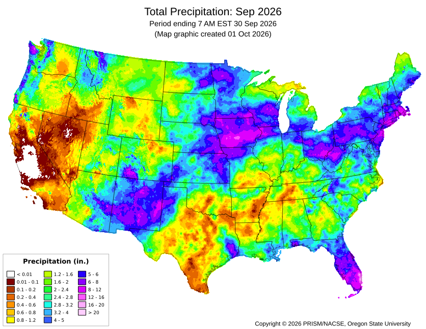
Developed by Oregon State University, the PRISM Climate Group produces detailed precipitation estimates by combining weather station observations with geographic factors such as elevation, terrain, and coastal influences.
Advantages:
- High spatial resolution of approximately 4 km.
- Accounts for local terrain and elevation differences.
- Well-suited for regional and localized rainfall analysis.
Limitations:
- Our PRISM dataset covers only the contiguous United States.
- Rainfall values are estimates and may differ from actual precipitation at an individual property.
PRISM remains our preferred precipitation source for rainwater harvesting calculations within the contiguous United States.
NASA POWER: Expanding Rainfall Analysis Globally
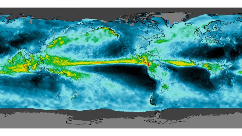
NASA's Prediction of Worldwide Energy Resources (POWER) project provides global climate information using satellite observations, atmospheric models, and other scientific datasets.
To balance historical coverage and spatial detail, our calculator uses two NASA precipitation products:
MERRA-2 (1981–2000)
MERRA-2 is a global atmospheric reanalysis dataset that provides historical climate estimates. Our calculator uses monthly precipitation totals for this period.
- Approximately 50 km spatial resolution.
- Provides historical precipitation records dating back to 1981.
- Useful for understanding long-term rainfall patterns.
- Coarser resolution and monthly totals limit its ability to represent individual rainfall events.
IMERG (2001–Present)
IMERG combines observations from multiple satellites to estimate precipitation around the world. Our calculator processes daily IMERG precipitation data into monthly totals for rainwater harvesting analysis.
- Approximately 10 km spatial resolution.
- Better representation of regional rainfall variation than MERRA-2.
- Daily observations allow more detailed analysis of rainfall patterns.
- Localized storms and rainfall extremes may still differ from actual ground observations.
Source: NASA POWER Precipitation Methodology
How Do the Datasets Compare?
┌────────────────────┬─────────────────┬───────────┬──────────────┐
│ Feature            │ PRISM           │ MERRA-2   │ IMERG        │
├────────────────────┼─────────────────┼───────────┼──────────────┤
│ Coverage           │ Contiguous U.S. │ Global    │ Global       │
│ Spatial resolution │ ~4 km           │ ~50 km    │ ~10 km       │
│ Data used          │ Daily           │ Monthly   │ Daily        │
│ Calculator period  │ 1981–Present    │ 1981–2000 │ 2001–Present │
└────────────────────┴─────────────────┴───────────┴──────────────┘
An important note about historical comparisons: When a simulation includes dates before and after 2001, the calculator combines MERRA-2 and IMERG precipitation data. Because these datasets use different methods and spatial resolutions, some differences in estimated rainfall may reflect the change in data source rather than actual climate conditions.
Simulations entirely within either period use only the corresponding dataset.
What Does This Mean for Rainwater Harvesting?
Rainfall varies considerably by location, and understanding historical patterns is essential when designing a reliable rainwater harvesting system.
With NASA POWER integration, users worldwide can now:
- Estimate how much rainfall their roof could collect.
- Simulate historical rainwater storage and household water demand.
- Explore how different tank sizes perform.
- Evaluate potential water shortages during dry periods.
While PRISM offers greater spatial detail within the United States, NASA POWER makes these same planning tools accessible across much of the world.
Explore the Rainwater Calculator and see how much rainwater you could harvest at your location.